
Formerly Dead Exit
|
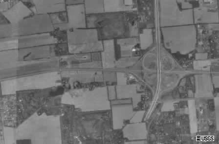
Here's an aerial taken from Terraserver of the interchange. The east-west freeway is US 22, with PA 33 being north-south. The cloverleaf interchange was partially closed when I took video of this on May 25, 1994. Notice that PA 33 actually extended further south of US 22. To this day it is still not opened. The surprising thing was that lights were installed and lines painted back in 1994.
| 
|
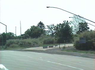
| US 22 eastbound at the closed ramp to PA 33 southbound. | Vintage PENNDOT lights were installed, and if I recall correctly they were all lit at night, even over the unopened section. |
| 
|
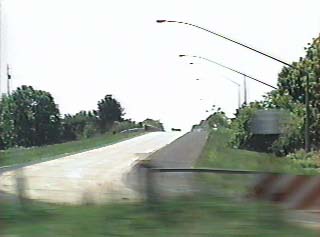
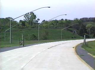
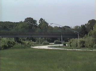
| Looking south at northbound PA 33 just south of US 22.; I found it interesting that lines were painted. | Here is southbound PA 33 past US 22. The overpass can be seen in the aerial image below. |
|
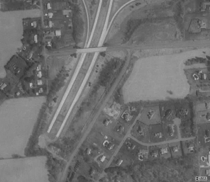
Here's a close-up of the southern end of PA 33 from Terraserver. The freeway literally stopped in it's tracks amidst farm fields. Construction on the $104.6 million extension began in March 1999 when work started on the trumpet interchange at I-78. The three-plus mile Route 33 Extension, and its new interchanges with Freemansburg Avenue and I-78, opened on January 20, 2002.