I always keep up on when the Department of Transportation releases a new road map by periodically checking the Maps page at their site. Whenever I see a change in the copyright year in the northeast quadrant PDF, I know I need to scour the state for a copy. Sure enough, for the first time since 2019 and 2020, there is a new 2023 official road map in back-to-back years.
Unlike in the past, I can not visit my local DMV office for a copy because it has since closed. There are two welcome centers within a few hours of my house. I do not have the time to drive out to them in the hopes that they have new maps. I learned that they don’t always when I stopped at the welcome center on westbound Interstate 90 this past July. Unfortunately, the only maps they were still giving out were 2022’s version. So I just ordered my copy from the PennDOT Sales Office. At least, acquiring this edition was not as daunting as trying to get copies of 2020’s map. That took until 2021! That year was understandable since the state was in the red due to the Coronavirus pandemic. They wanted to use up the 2019 stock before offering 2020 copies.
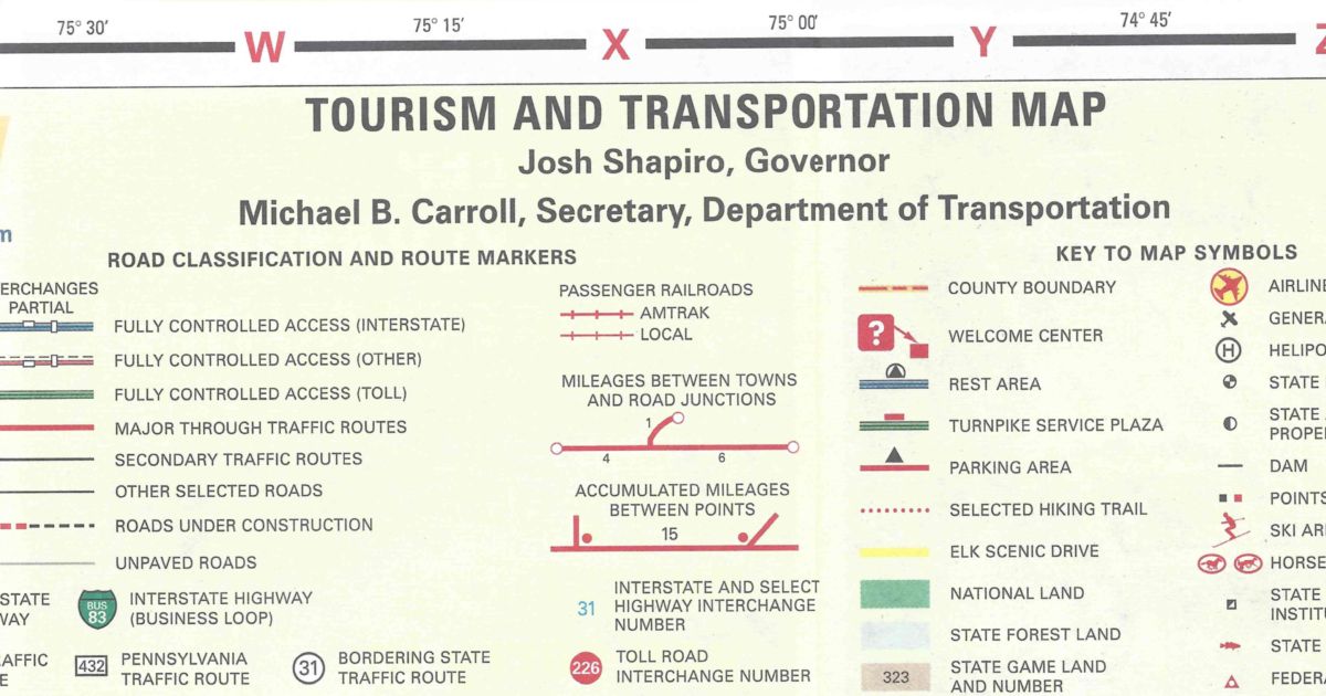
Much like the 2020 edition, no changes of note took place to the highway system. Due to the election of Josh Shapiro as Governor, his name is now in the legend along with the new Secretary of Transportation, Michael B. Carroll.
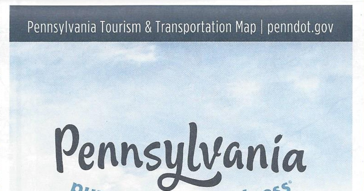
The map has the same dimensions as the previous year’s. However, the cover of the 2023 official road map features a picture of three women at a camp site. One is doing yoga, another is walking, and a third is sitting in a chair drinking coffee. You can view the 2023 official road map on PennDOT’s site  .
.

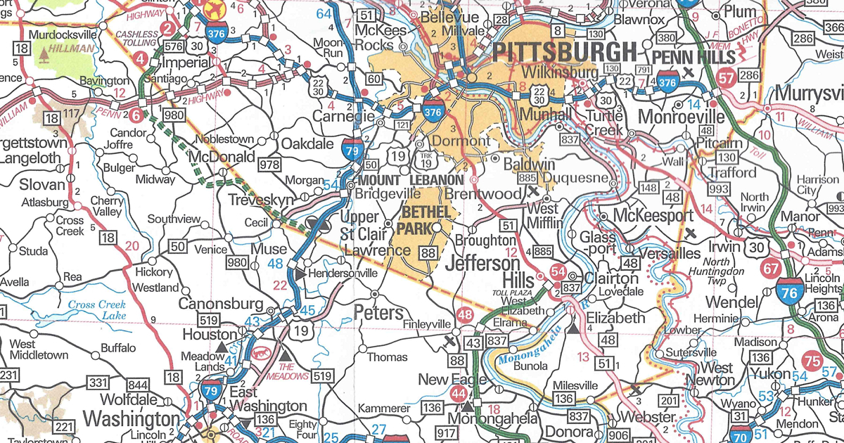
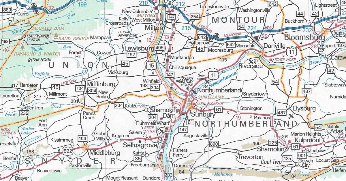
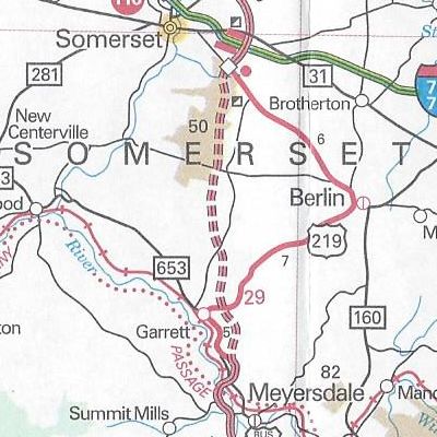
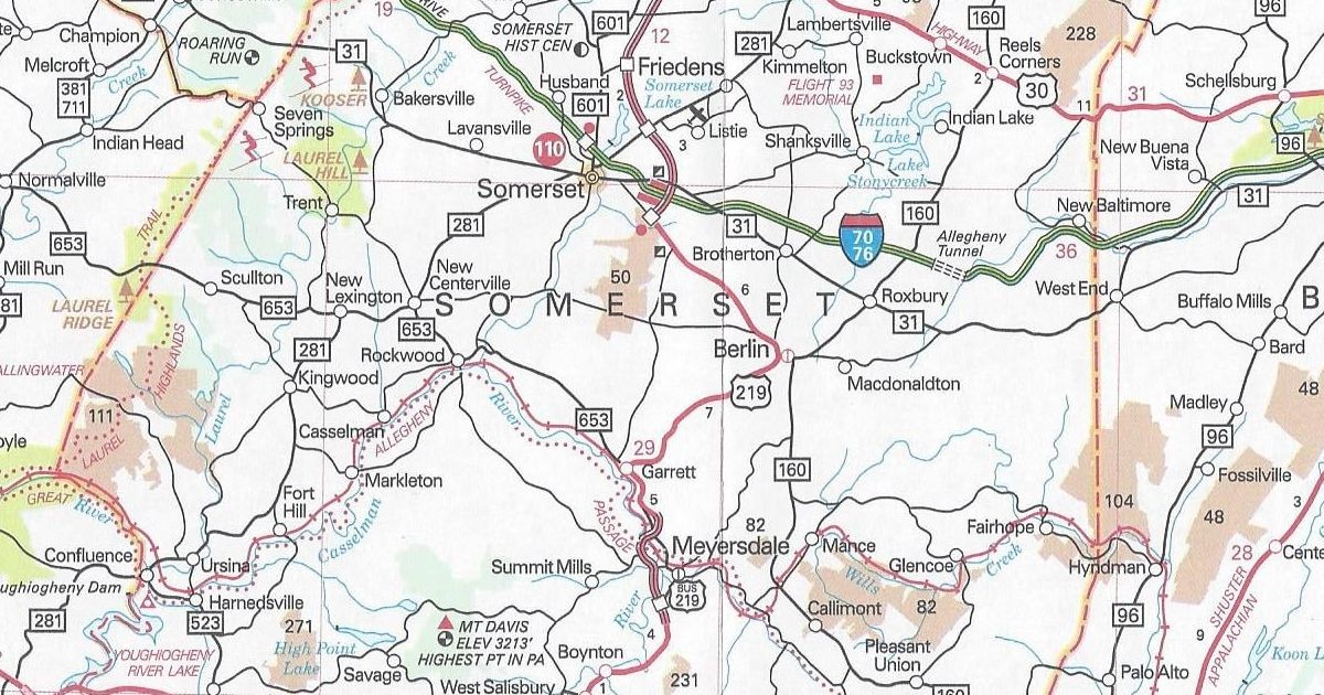
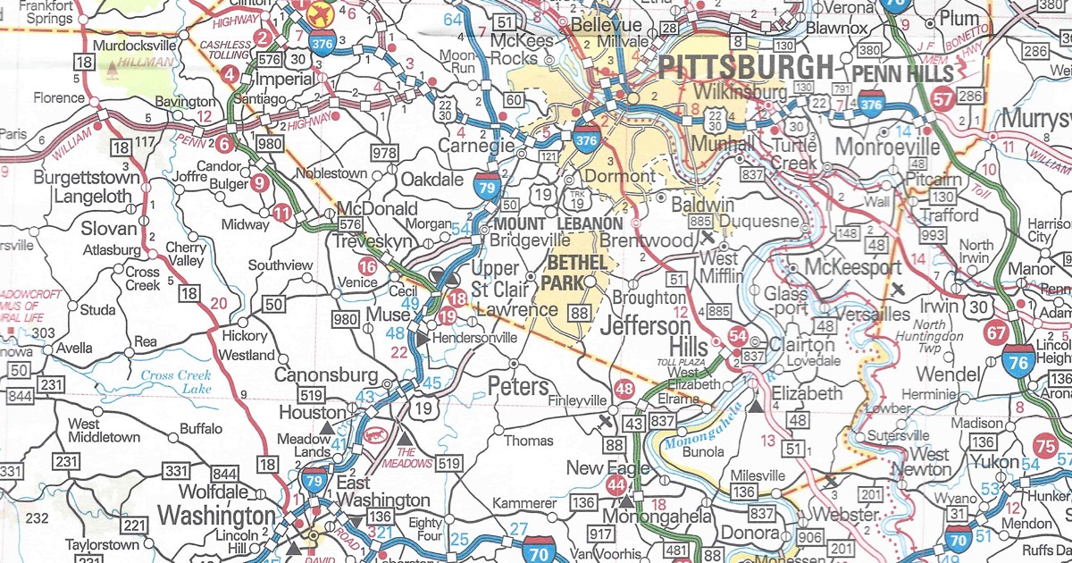 What is strange is that this section is not printed in the Pittsburgh inset on the back.