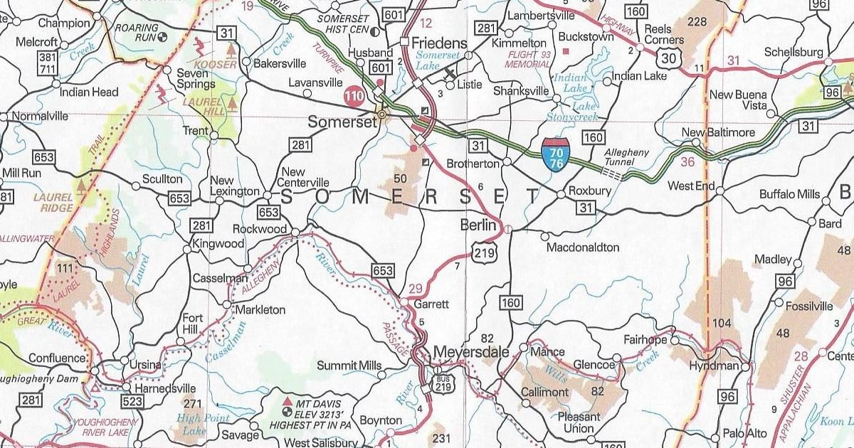
Since three state maps have been published in a row, I figured there was a good chance they printed a 2025 official road map. I better play the Powerball and/or MegaMillions because I called it correctly. Sure enough, the PennDOT maps page had a link to the state map with a “2025” copyright. I printed off the order form and tossed it in the map. A few days later, viola! Four free maps: one to keep and three others to give away. A lot less than the blocks of 2024s I still have, and will have for years to come!
Not much has changed, as there is just one on the 2025 official Pennsylvania map since the 2024 edition. Or perhaps it should be best clarified as one correction.
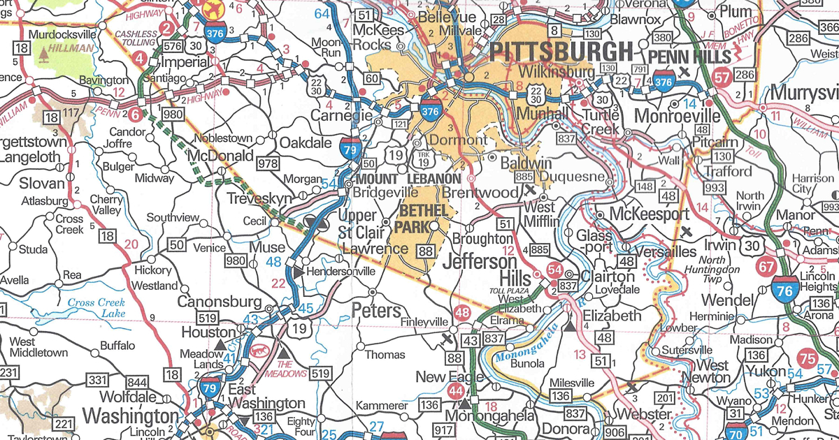
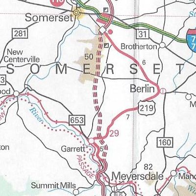
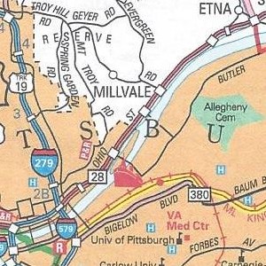
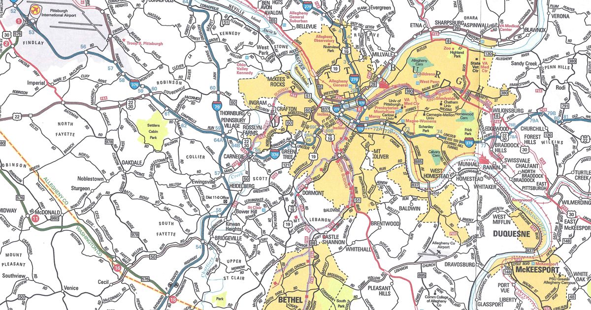
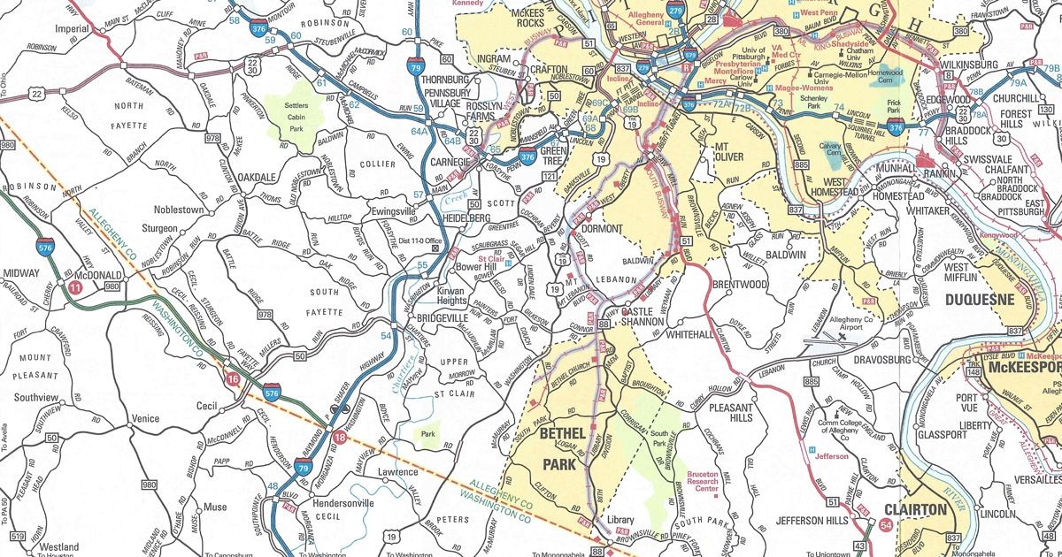
Pittsburgh enlargement
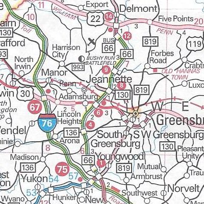
PA Turnpike 576 is no longer indicated as an Interstate on the newest section between US 22 and Interstate 79 and is back to being a state route. And we helped! After discovering that error, we contacted the Department of Transportation and Mark Leitzell, manager of Cartographic Services, replied:
Thank you for bringing this inconsistency to our attention. The shielding on the Pittsburgh enlargement has been corrected and will display correctly on subsequent printings of the Tourism and Transportation Map product.
Sure, it was a curious error, considering that the Turnpike Commission wanted parts or all of it marked as an Interstate. Even AAA jumped the gun back in the mid-2000s by designating it as an Interstate. However, printing state maps costs tax dollars. We feel that the state government should spend tax dollars printing maps without errors.
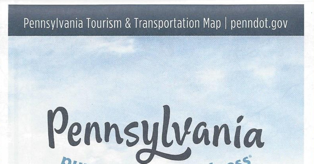
Another change is PennDOT’s URL on the cover, only two years removed from the last change, and this time going from “penndot.pa.gov” to “pa.gov/penndot.”
The map has the same dimensions as the previous year’s. However, the cover of the map features a picture of a child enjoying a single-seat roller coaster-type ride. You may view the 2025 official road map on PennDOT’s site  .
.


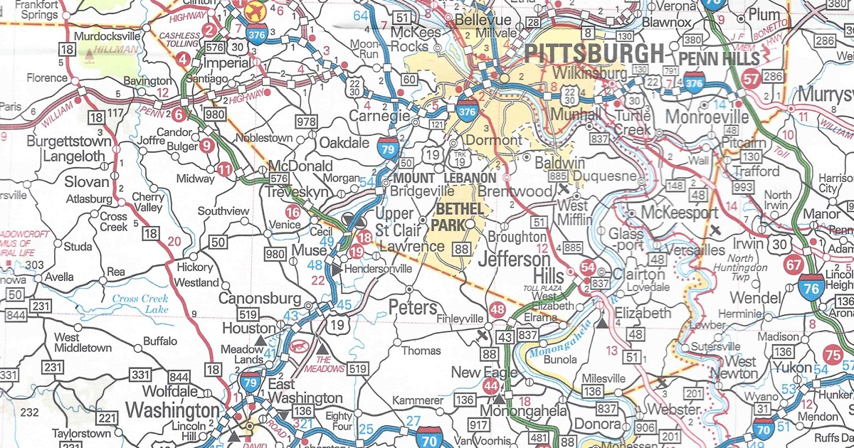 What is strange is that this section is not printed in the Pittsburgh inset on the back.